
Finding a Genesee Township Street Directory Trail
A full street search starts by normalizing the address. Keep directional letters, the road type, a unit, the postal city, and the source date. A Genesee or Flint mailing label does not by itself settle the legal parcel jurisdiction. The useful trail is address to parcel, parcel to map, parcel to recorded instrument, then dated household sources. A by-address search can supply leads, but one screen never establishes current occupancy. Label each result with the role the custodian uses, such as owner, taxpayer, grantee, applicant, or household head.
- Enter the normalized address in the Genesee Charter Township BS&A portal. Save the parcel ID, legal description, displayed owner or taxpayer, mailing address, and search date.
- Open the same parcel in Genesee County FetchGIS. Confirm the road, parcel polygon, adjacent shapes, and the date of any aerial image used as a map clue.
- For a title question, use the Genesee County Register of Deeds index with the owner and legal description. Read the deed image rather than a summary.
- For a dated household question, check a relevant Flint Public Library directory volume or census source. Record the publication or enumeration year beside the address.
- When a permit or land-use question remains, give the township custodian the address, parcel, project type, and date range. Preserve application, permit, inspection, and certificate dates as different events.
That sequence keeps an ownership question distinct from a household question. It also leaves a usable source trail when a road name, postal label, or parcel number has changed.
Genesee Township Street Address Basics
Record the address exactly as first found, then make a second normalized version for searching. Do not drop a north, south, east, or west prefix, and test common road-type forms when a portal returns no match. A rural route, an earlier post-office label, or a parcel split can break a simple address search. The Genesee County Road Commission map collection supplies a street index, a Genesee Township area map, and a 1924 road map for comparing a historical road label with a current one.
Use the resulting parcel ID and legal description as the more durable bridge. A current address may not appear in an older deed book, yet the legal description and party names can still lead to the record. A map line, fence, driveway, or visible building is only a mapping clue. It does not prove a legal boundary, ownership, or presence at the address.
- Parcel
- A tax-mapping unit assigned an identifier by the local assessing system. One street address can relate to more than one parcel or legal interest.
- Situs address
- The property location carried by a record. It is different from an owner or taxpayer mailing address.
- Plat
- A recorded map that lays out lots, blocks, streets, or other land divisions. It can help read a legal description.
- Criss-cross directory
- An address-first directory arranged by street and house order, useful for a dated street comparison when coverage includes the road.
Genesee Township Street Directory in BS&A
The BS&A township landing page is the current parcel starting point. Its verified search bar accepts Address, Name, and Parcel Number. Separate application tiles route to Detailed Record Search, Utility Billing Record Search, Building Department Record Search, Delinquent Personal Property Search, Assessing Search, and current-tax functions. The underlying parcel detail can vary by application, so preserve its labels rather than assuming a fixed field order.
| Verified BS&A control | Type | Required status | Use for a street search |
|---|---|---|---|
| Address | Search-bar field | Not captured on the landing view | Start with the complete normalized property address. |
| Name | Search-bar field | Not captured on the landing view | Test a surname, then add a first name or middle initial as needed. |
| Parcel Number | Search-bar field | Not captured on the landing view | Use after an address search yields the local parcel identifier. |
| Building Department Record Search | Application tile | Application-specific | Use an address, parcel, and date range for a permit question. |
| Assessing Search | Application tile | Application-specific | Use the parcel ID when assessment context or public inspection is needed. |
The official BS&A tax and payment search shows the township’s separate payment route.
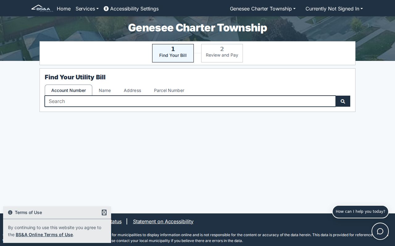
Keep a payment screen separate from a parcel result. A payment route can confirm the correct township service path, while a parcel card supplies the address, parcel, and assessment context needed for a records trail.
The Genesee Township Assessing Department provides the local inspection and assessment context. The office can be reached at 810-640-2000 ext. 7. Its materials include public-inspection policy, land division and combination links, ECF group material, land values, and exemption information. Call with the parcel number when a portal result needs clarification, and route tax-payment questions to the Treasurer rather than treating the assessor as the payment custodian.
The official assessing page is the source for the local assessment and inspection route.
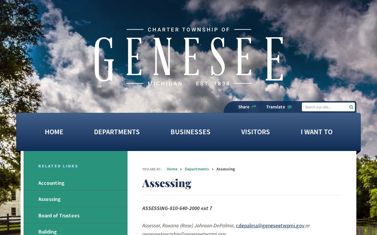
Use the page’s public-inspection material to ask what portion of a card is available, rather than filling a blank portal result with an assumption.
Map a Genesee Township Street Parcel
Genesee County FetchGIS adds the map layer that a parcel card lacks. The county flyer describes parcel mapping, multiple aerial-image years, elevation contours, line and area measurement, coordinate points, text and shape markup, and current GPS. These tools help distinguish similarly named roads, place a parcel beside the road centerline, and see adjacent legal parcels. Premium reports, notification lists, and custom outputs may carry a transaction charge.
The FetchGIS viewer is the county source for this parcel and aerial context.
Save the imagery year and map date with a screenshot. The polygon locates the tax parcel, but the image does not establish who is present at a building or whether a visible feature follows the legal line.
Genesee Township Street Permits and Zoning
An address can also lead to a property timeline through the Genesee Township Building Department and the BS&A Building Department Record Search. Ask with the street address, parcel, project type, and date window. The staff page identifies Timothy McNaught at ext. 236 and Melinda Walker at ext. 221, with the main office at 810-640-2000. Electrical, plumbing, and mechanical permits route through the Michigan construction-code system, so their absence from a township result does not resolve the question.
The Building Department page identifies the township permit route.
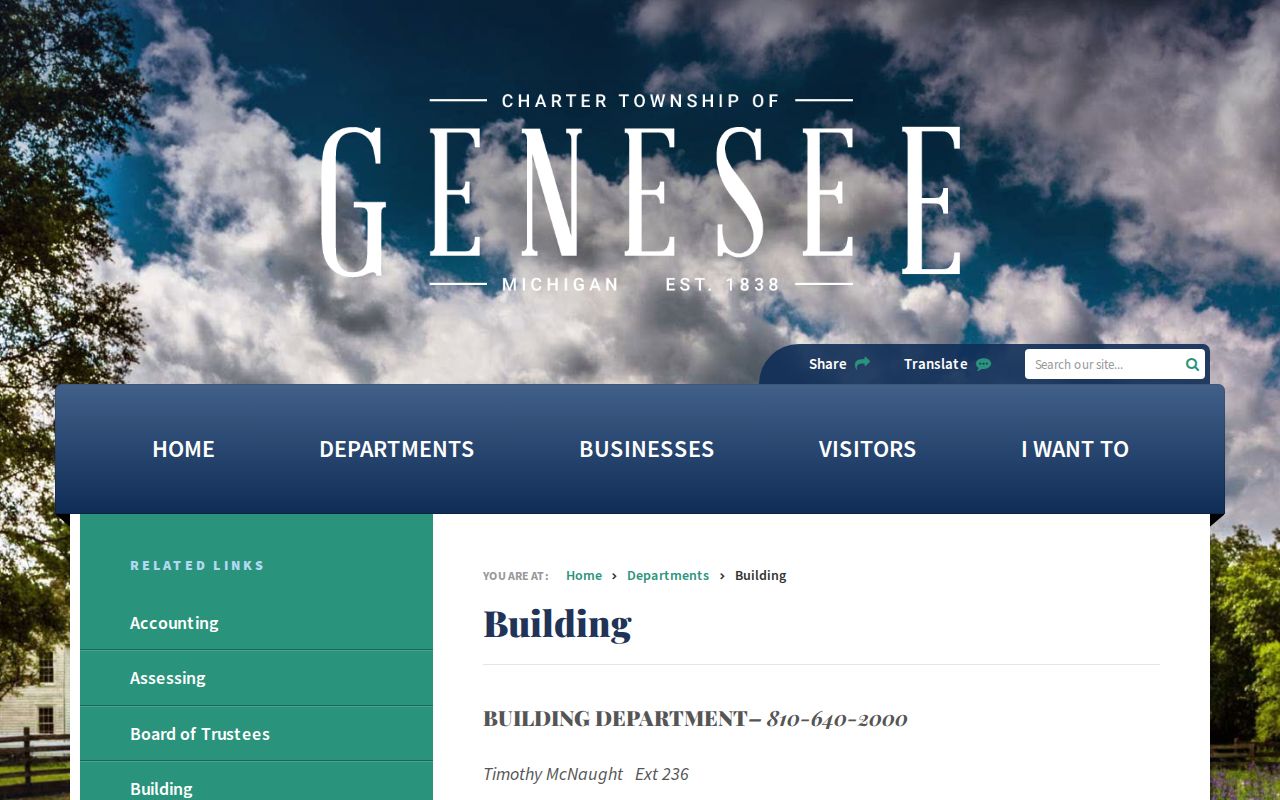
A permit application, issued permit, inspection, reinspection, and certificate of occupancy are distinct records. Preserve the event type and date shown by the custodian.
The Genesee Township Zoning Department supplies ordinance 603, the zoning map, applications, and planning or zoning-board material. Planning Board meetings are listed for the third Wednesday at 6 p.m. at 7244 N Genesee Road, and the ZBA is listed for the third Monday. Board packets can identify an applicant, a parcel, a variance, or an affected neighbor, but no searchable historical zoning-case database was located.
The official zoning page is the source for maps, applications, and meeting information.
Read an applicant, contractor, owner, and affected neighbor as separate roles. A name in a zoning packet is not automatically a household listing.
Genesee Township Street Records by Address
Street records answer different questions, so a good Genesee Township by-address trail labels its evidence. BS&A supplies a current parcel or tax snapshot. FetchGIS supplies parcel geometry and map-date context. The Register of Deeds supplies recorded land instruments. Historical directories and census material can place a household at an address in a selected era. The Michigan Voter Information Center is an individual address-based voter lookup, not a street roster; voter-file access carries legal limits and redactions.
| Address-keyed source | Custodian | What the record can show | Access route and limit |
|---|---|---|---|
| Parcel, tax, and assessment record | Genesee Township BS&A and Assessing | Parcel ID, situs, owner or taxpayer label, mailing address, legal description, and value context | Portal first, then assessing inspection or FOIA route; owner is not automatically occupant. |
| Parcel and aerial map | Genesee County FetchGIS | Parcel polygon, road context, adjacent parcels, and selected imagery years | County viewer; map features are not proof of boundaries or people. |
| Recorded land instrument | Genesee County Register of Deeds | Grantor, grantee, recording date, instrument detail, and legal description | County index and image route; a recorded transfer does not show occupancy. |
| Permit or zoning file | Township Building or Zoning | Application, permit, inspection, certificate, or board-case context | Address, parcel, and date-window inquiry; exact live result fields were not captured. |
| Historical directory or census | Flint Public Library collections | Dated household, street, or enumeration context | Coverage differs by volume and year; it is not a current-residence record. |
Use the source’s own verb when taking notes: a parcel card lists, a map places, an index names, and a directory places a household in its dated publication. Those distinctions prevent a street search from overstating the record.
Genesee Township Street Deed Chain
The Genesee County Register of Deeds is the title route after a parcel and legal description have been saved. Its historical guide directs users to set Document Type to Index, choose Deed Index Book or Mortgage Index Book through Book Type, then filter or sort by year and party initial. The guide uses DE for deed books and MTG for mortgage books. Open the document-image icon and retain the stable recording date, instrument number, or liber and page when available.
Work backward from the current parcel: search the acquisition grantee, read the deed image for the grantor and legal description, then search that prior grantor as a grantee. Test spouses, trusts, estates, company names, abbreviations, and spelling variants. A mortgage, assignment, lien, release, or discharge has a different role from a deed. The county reports digitized public documents from 1970 forward; older scanned but unindexed images may be available onsite, so verify the current online cutoff with the office.
Genesee Township Street Directory History
The Flint Public Library Local History and Genealogy Room holds the useful historical layer for an address question. FPL reports R. L. Polk directories from the 1890s to the present for Flint and surrounding communities. Its Bresser criss-cross material is arranged by street and house order and may provide a household head, phone, ownership status, and first-listed year. Check township coverage one year at a time instead of assuming a Flint volume includes every Genesee Township road.
For a past household, record the volume title, publisher, year, street heading, house number, and page. Then compare the nearest census enumeration and, when useful, a Biography File or obituary clipping. The Genesee Township city-directory collections supply the fuller historical context; use the entry as a dated address check within a street record trail.
Note: A directory entry says that a source placed a household at an address in a particular publication year, not that the address is current.
Genesee Township Street Map Tip
The useful map habit is to compare labels before drawing conclusions. The Road Commission collection’s 1924 map, street index, and township-area map can expose an earlier road label or a postal label that does not match the current portal. Return to the parcel number and legal description after making that comparison. A missing address in an old index may reflect a changed road name, a different post-office line, or a legal-description-only deed, not a missing transfer.
Genesee Township borders Flint, Burton, Mount Morris, Mount Morris Township, Richfield Township, and Thetford Township. Similar roads and postal names can cross those local-unit lines. Let the parcel, GIS, or other custodian jurisdiction field decide which office holds the record.
Genesee Township Street Insider Tip: FOIA Fallback
When a portal has no result, ask for the narrow record that matters. The township routes written records requests to Clerk Robert Watters as FOIA coordinator, and its policy generally arranges inspection at the record location from 9 a.m. to 5 p.m. on weekdays. Give the address, parcel, record type, and date range. For a permit request, distinguish an application from an inspection or certificate. For an assessment question, ask the Assessing Department what is inspectable before seeking a broad file.
Michigan FOIA, MCL 15.231 et seq., generally calls for a response within five business days, with a possible 10-business-day extension. Fees can cover search, review, redaction, copies, and mailing. The Michigan Attorney General FOIA guidance explains the state process. Save the request date and the custodian’s response instead of treating a delay as proof that no record exists.
Limits of a Genesee Township Street Directory
A by-address reference is not a complete list of people on a road. A property owner, taxpayer, mailing recipient, permit applicant, grantee, registered voter, and historical household head can all be different people. Michigan voter records redact identifying and protected fields, Michigan has no party registration, and the Michigan Address Confidentiality Program keeps protected participant data out of ordinary FOIA production. Do not try to resolve a substitute address by combining parcel, voter, court, or directory fragments.
Lawful use. Use Genesee Township address records for personal, archival, family-history, civic, or property research. Do not use an address trail to stalk, follow, threaten, harass, or expose anyone.
The Michigan Address Confidentiality Program is the official source for protected-address information. A blank result can reflect a protected record, a coverage limit, a spelling difference, a required field, or an unavailable image. Record that result state and use the correct custodian instead of making a claim about a person.